


Researchers have created the first-ever map of the Martian underground by listening to the sound of wind reverberating through the layers of soil and rock near Mars' equator.
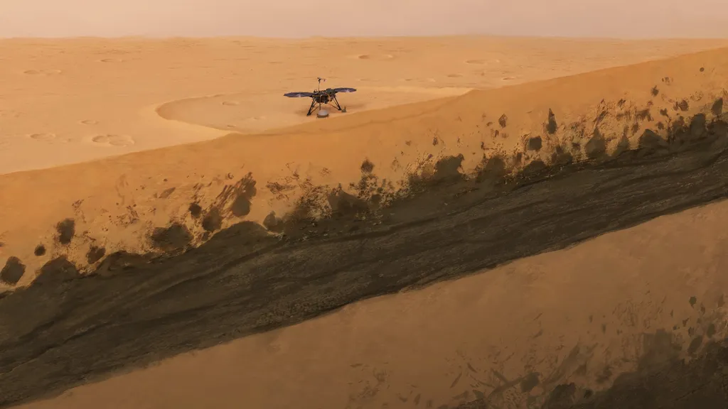
The team used instruments on board NASA's InSight probe, which landed in the flat Elysium Planitia in 2018 to study weak "marsquakes" rippling through the planet.
InSight's data has previously enabled scientists to get a rough idea of the size and composition of Mars' core, as well as the nature of its mantle and thickness of its crust.
A new technique developed and finetuned on Earth now for the first time enabled a team led by Swiss geophysicists to use the lander's instruments to peek directly underneath the planet's parched surface and discover what lies within the first 660 feet (200 meters) of its crust.
Source